


 Download PDF
Developing a Plan for the Elimination of Architectural Barriers (PEBA) is a demanding challenge for any municipality. It requires mapping kilometers of roads, sidewalks, and obstacles with absolute precision.
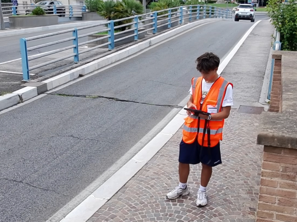
This is where TPS PEBA comes into play: our proprietary tablet application that transforms field surveying—a naturally complex and technical operation—into a digitalized, seamless, and fast process.
A tailor-made tool
The TPS PEBA interface guides the surveyor through completing dedicated forms designed to collect all the elements required for accessibility checks.
This approach eliminates inefficient and obsolete paper forms and notes, while replacing certain physical instruments with specialized features—such as the digital level integrated into the device—making field surveys much easier for the operator.

Integrated Multimedia Management
Capturing a large volume of data and photographs during field inspections—which used to require hours of indexing and georeferencing—is now handled natively and in a structured manner, dynamically associating each photo with the specific surveyed element and its geographic coordinates.
To safeguard the data collection process, the system includes an automatic backup module that saves sessions at regular intervals, protecting the surveyor’s work against any unexpected issues or accidental device shut-offs.

From field survey to processing.
Once the survey operations are complete, the software automatically generates a export package, aggregating the spatial database and photographic assets into an optimized format ready for post-processing analysis.
This process eliminates the need for painstaking manual reviews or corrections: datasets are extracted from the tablet fully structured, ready to be integrated into internal processing systems with maximum efficiency, drastically reducing delivery times.